
- This event has passed.
Volunteer Trail Work Day – Lower Taylor Creek Trail – April 4
Date: Saturday, April 4, 2026
Time: 9 AM to 4 PM
Location: Taylor Creek Trail, Taylor Creek-West Fork Trailhead AKA Loop trailhead
Flavor: Primarily brush-clearing
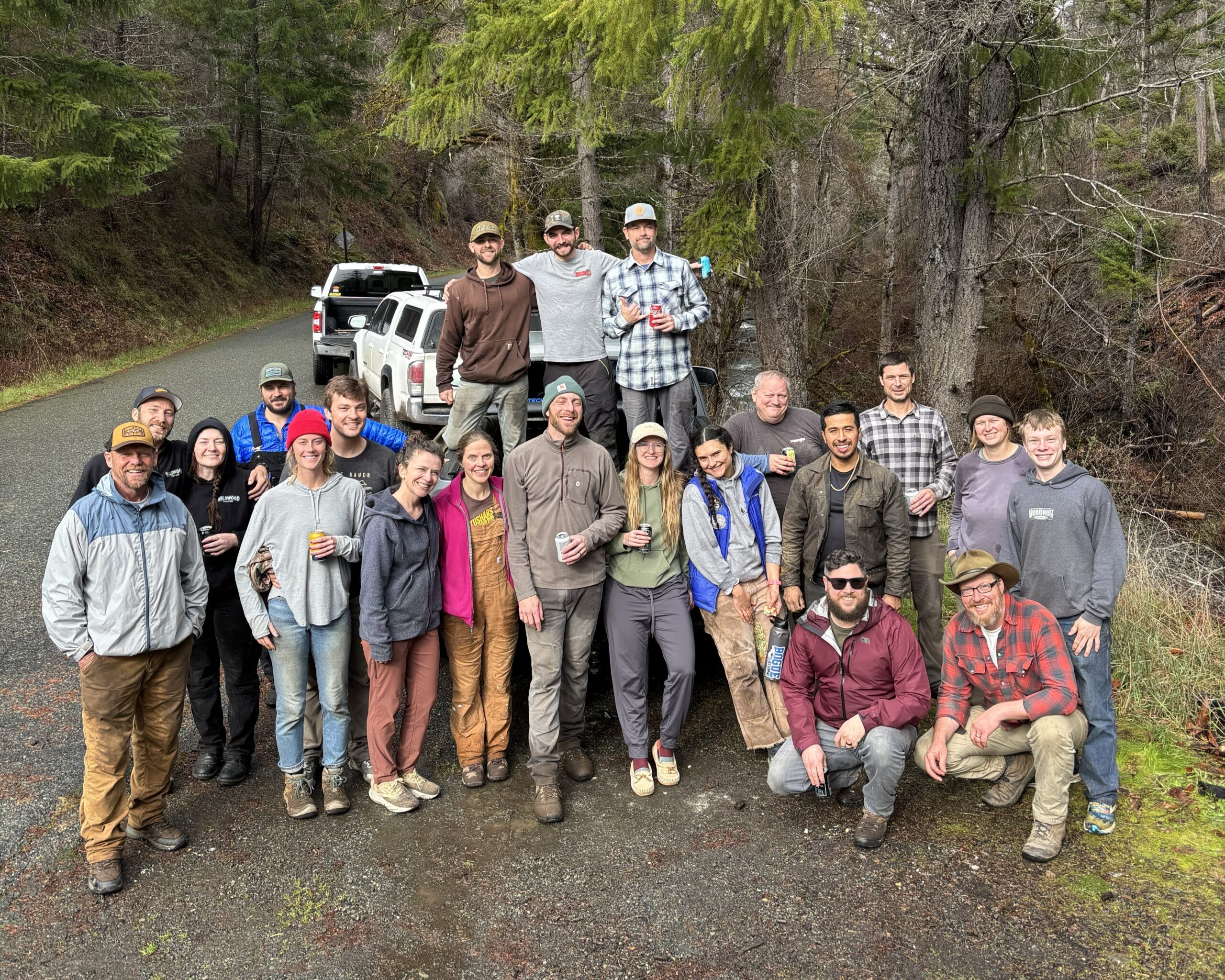
Join SOTA for another volunteer trail work day in the Briggs Valley west of Grants Pass, where we’ll continue our work clearing brush and downed trees from the Lower Taylor Creek trail.
Lower Taylor Creek is the backbone trail of the Briggs Valley and is a main focus of SOTA’s work in 2026. The 7-mile trail connects to many other trails, trailheads, swimming holes, and waterfalls. It has needed maintenance for years since the 2018 Klondike and Taylor Creek fires, but SOTA and others have been chipping away at keeping the trail open. This year, our goal is to get the entire trail completely reopened and passable!
The trail needs brushing work, downed tree and strom debris removal, and some selective tread restoration. Volunteers can expect to work primarily with loppers, hand saws, and rakes. Experienced volunteers and USFS-certified sawyers may be able to use power tools; please let us know if this is something you are interested in when you RSVP.
We will plan to work on the trail for about 6 hours and then reconvene at the trailhead for a late lunch/early dinner meal and drinks afterwards, to celebrate the work we accomplished!
Email larry@southernoregontrails.org to RSVP or ask questions. In your email, let us know if you are familiar with the area, what tools you plan to bring (if any) and whether you are interested in using power tools.
RSVP
Location
There are multiple trailheads along Taylor Creek. We will meet at the “Taylor Creek-West Fork Trailhead” AKA Loop trailhead. Details below.
There is little to no cell service in the Briggs Valley, so plan your maps and route ahead of time to ensure you know where to meet us.
Coordinates: 42.499854, -123.647719
Directions from Merlin:
- 1. Drive west on Galice Rd for 8.5 miles
- 2. After passing Morrison’s Lodge, turn left on Taylor Creek Road/NF-25 (Sign for Briggs Valley 13mi)
- 3. Drive 7.4 miles, stay right (on the main road) at all road splits, and the trailhead will be on your left.
For the entire 7.4 miles, the creek should be below and to your left, and for the last few miles you’ll be right alongside the creek. If you start twisting and turning up an uphill road away from the creek, you’ve gone too far or accidentally took a left when you should have stayed right. The trailhead is not hard to find and the SOTA crew will be out there around 8:30, so you’ll see us and know you’re in the right place.
What to bring
SOTA has tools and hard hats to lend. Check the forecast and dress accordingly, with breathable and removable layers. Regardless of the temperature, we recommend long pants, long sleeves, and tall socks to protect your skin from weather, poison oak, scratchy brush, bugs, etc. Please bring:
- – Weather-appropriate clothing and sturdy shoes
- – Gloves!
- – Eye protection (sunglasses, safety glasses)
- – Water and snacks for yourself during work hours
- – Optional: loppers, clippers or small hand saws if you have your own you want to bring
Click below to let us know you’re coming!
RSVP